After designing four road winters for the Rondonópolis (MT) Terminal of Rumo, the largest logistics operator with railway base in Latin America, using the BIM methodology (Building Information Modeling, in Portuguese), LPC Latina is responsible for the project to expand the cupolas of the same Terminal, which will increase the capacity of receiving the road by 50%.
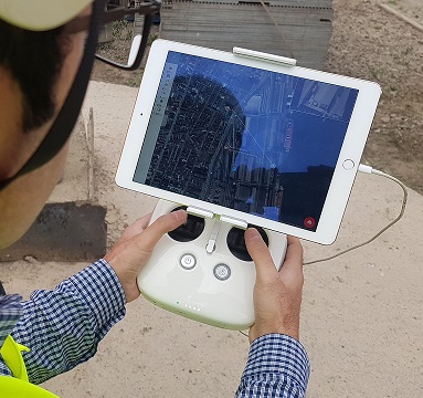
This time, the company implements a different technology: 3D modeling with drones, in which the survey of the local topography and the altimetry is done by means of simultaneous photos taken by drones, with the objective of analyzing georeferenced data (i.e: knowing the exact location in coordinates of any point, measure distances, areas or volume).
The result is several embedded photos that give rise to a single high-definition image of the surface where the hoppers will be built, which guarantee the three-dimensional coordinates for graphic works and creation of 3D and 4D models, as well as the possibility of visualizing the area in glasses of virtual reality. According to Renato Gama, executive director of LPC Latina, with this technology, the development of the project in BIM becomes even more assertive and real. “The combination of these technologies is the most modern for projects,” he explains.
LPC Latina also manages the construction work for Rumo’s new rail yard in Rondonópolis, for operations to receive fertilizers and cleaning wagons. With capacity for up to eight wagons simultaneously, the equipment will optimize the activities of the Terminal and contribute to the enhancement of the Brazilian logistics system.